About
EnvironmentalEQ is the authoritative data pipeline and interactive atlas for local environmental, demographic, public health, and socioeconomic indicators across the United States. Designed and developed by Ty Pham-Swann, it is used by data scientists, researchers, and policymakers at leading U.S. think tanks and federal and state policy offices to understand how environmental, health, and economic conditions interact at the neighborhood, census-tract, and county level — and to inform evidence-based policy.
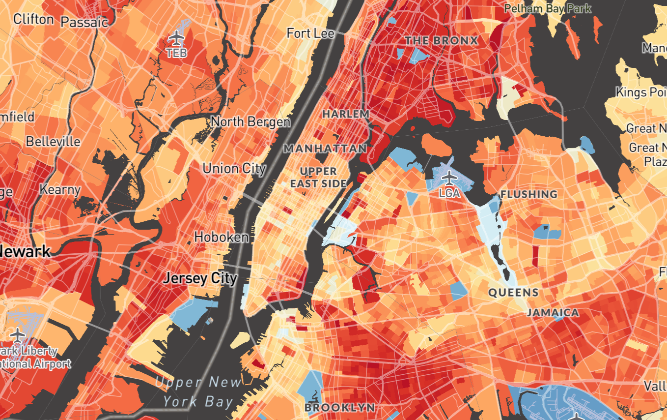
The atlas lets data scientists, researchers, and policymakers explore environmental, demographic, public health, and socioeconomic data at the census-tract and county level, and analyze how these indicators interact locally. For inquiries, partnerships, or data access, contact ty_pham-swann@brown.edu. EnvironmentalEQ is built on data aggregation work by the U.S. federal government — including the Climate and Economic Justice Screening Tool — research by Susanne Amelie Benz and Jennifer Anne Burney, and source data from the U.S. Census, CDC, DOT, HUD, EPA, USACE, MLRC, CONUS, DOI, NLRC, HOLC, FEMA, DOE, the First Street Foundation, Mapbox, and OpenStreetMap. Site template from HTML5UP. The current release covers the continental United States; some tracts and counties lack certain data layers. Data presented here is sourced from the agencies listed above and does not represent the views of those agencies.
The full repository for the web application is available at this repository; reach out individually for code used in data processing.
The full repository for the web application is available at this repository; reach out individually for code used in data processing.